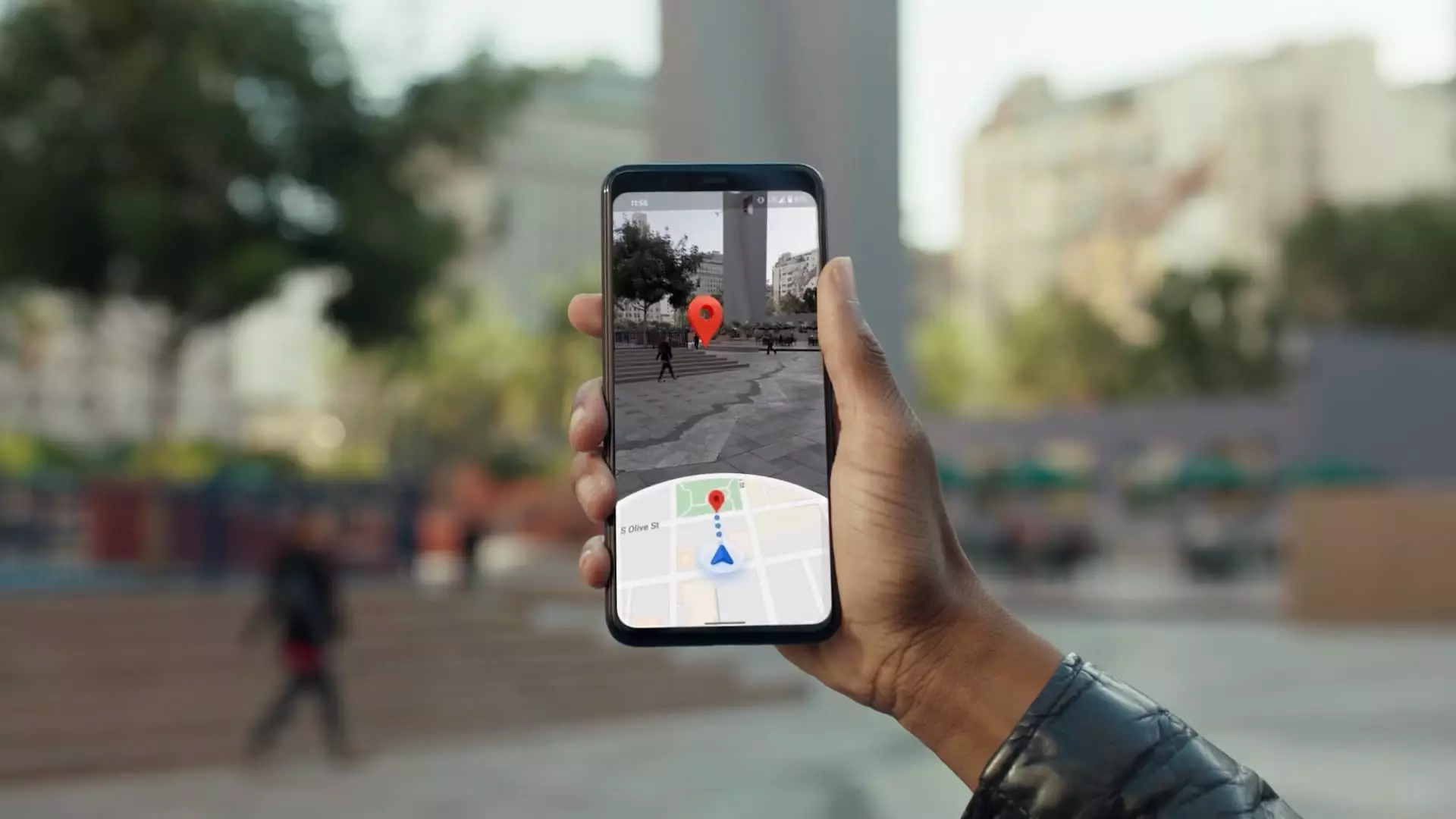
In the early 2000s, a revolutionary notion emerged from the mind of Larry Page, co-founder of Google. It wasn’t merely about searching the web; it was about transforming the way individuals navigate their environments. The genesis of Google Street View is a testament to this vision. Maria Biggs, a technical program manager at Google, recalls an essential moment when Page used a simple video camera to gather data about street layouts, prompting innovative ideas. This initial exploration laid the groundwork for what would evolve into one of the most widely used navigation tools today.
Biggs now leads efforts to integrate the latest in camera technology into Google Street View’s operations. The groundbreaking camera introduced in 2022, designed to be portable and compatible with any vehicle, marks a significant shift from previous models that were integrated into specific cars. This flexibility allows Google to streamline its mapping efforts. As Biggs pointed out, shipping entire vehicles for mapping purposes is no longer necessary; the camera systems can be easily transported, allowing for more frequent updates and a broader mapping reach.
Enhancing User Experience
Google Maps, boasting over 2 billion monthly users, is continuously evolving to enhance user experience. As the platform approaches its 20th anniversary in February, the tech giant is relentless in its pursuit to maintain its leadership in the competitive navigation landscape. With an infusion of generative artificial intelligence through a feature called Gemini, Google Maps is better equipped than ever to meet the diverse needs of its users. This AI technology does not merely locate routes; it caters to specific user preferences, such as finding pet-friendly venues or reporting on local traffic disruptions in real-time.
Moreover, Gemini enriches the decision-making process for users by analyzing thousands of reviews, providing comprehensive insights on potential destinations. This feature, combined with real-time updates on public transit, positions Google Maps as an invaluable tool for users seeking to navigate economic, environmental, and social landscapes effectively.
The innovations in mapping technology have allowed Google to expand its geographic coverage, recently venturing into Bosnia and Herzegovina, Namibia, and Liechtenstein. However, collecting mapping data isn’t solely reliant on innovative technology. Google incorporates satellite imagery and a network of information from over 1,000 third-party collaborators, ensuring comprehensive coverage across more than 250 countries.
Chris Phillips, the vice president of Google Geo, emphasizes the importance of data accuracy and safety in navigation. By aggregating real-time data on traffic and road conditions, Google can provide a safer navigation experience, enhancing the overall user confidence while utilizing their applications.
Waze and its Impact on Navigation Safety
Acquired in 2013, Waze complements Google Maps by focusing on real-time traffic data and alternative routing options. Although offering different routing suggestions helps alleviate congestion, it has inadvertently caused traffic issues in some neighborhoods. Phillips insists that Google remains conscientious in using only public roads when facilitating these advanced navigation options. This approach is critical to mitigating adverse traffic impacts on smaller residential streets.
The integration of Waze’s robust data stream into Google Maps showcases a collaborative effort to improve driver awareness. Waze not only alerts users to current hazards but also informs them of locations that have previously experienced safety issues. This comprehensive approach seeks to transform navigation apps into tools fostering increased user responsibility and safety.
Despite the transformative technological capabilities, grappling with privacy concerns remains a critical challenge for Google. Users are understandably wary of their data, leading to the implementation of privacy protocols such as auto-blurring images of identifiable information and providing options for deleting personal location history. Recognizing the sensitivity surrounding specific locations, like domestic violence shelters, Google adopts a cautious approach to data collection.
Furthermore, the transition to device-based location storage enhances user security by reducing the risk of external entities accessing sensitive data. The evolution of privacy safeguards is ongoing as Google strives to balance data utility with user confidence.
While Google Maps thrives as a navigation tool, its financial mechanics remain somewhat opaque. Parent company Alphabet does not separately disclose revenue from Maps, combining it with other services like Search and YouTube. However, estimates suggest a substantial increase in revenue from $2.95 billion in 2019 to projected figures nearing $11 billion in 2023, predominantly driven by advertising.
The synergy between Google Maps and various industries reflects its financial significance. From supporting logistics companies to enhancing food delivery services, the integrations with third-party providers like Wayfair and Dominos signify the growing reliance on sophisticated mapping solutions. Moreover, as autonomous vehicle technologies like Waymo gain traction, the need for precise mapping becomes critical, signaling another lucrative avenue for Google.
Google Maps continues to evolve dynamically amidst technological shifts and user preferences. By embracing innovation within its processes and addressing consumer concerns, the platform stands poised to maintain its status as the dominant navigation service in the world. This enduring trajectory underscores the potential for ongoing advancements that could redefine how we understand and interact with our environment in the years to come.


Leave a Reply